Who doesn’t love a road trip; especially one that is pre-planned for you? All you need is your sense of adventure, a full tank of gas, and someone to share it with!
I mentioned last week that I would share more details about the Guess Where Trips adventure that my mom and I did during our summer vacation. So, today on the blog, I wanted to introduce you to this fun company, if you haven’t already heard of them, and share a little bit more about how our adventure played out.
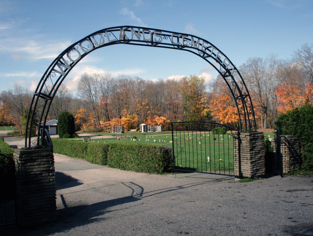
Marilu, the Travel Support Specialist at Guess Where Trips, gave me a Historic Haunts tour to try out for free, in return for an honest review. The Historic Haunts tour includes a couple of cemetery stops, so it was a perfect fit! This trip is a round-up of spooky and unusual attractions, leading you on a route full of haunted history and ghostly stories. My favorite kind of road trip!
Guess Where Trips
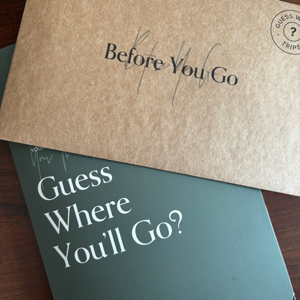
Guess Where Trips offers beautifully packaged, one-day surprise road trips that will take you to all manner of hidden gems in Canada and the United States. Inspired after creating a scavenger hunt-style road trip as a gift to her parents, Jess Off founded Guess Where Trips in January of 2020.1 These curated road trips encourage you to explore the road less traveled, while also supporting small businesses and communities along the way.1
Lots of meticulous planning and research goes into all 135 available trips. And they are working on creating new adventures all the time. On June 20th of this year, they released 13 new trips that feature Michigan, Ohio, and Indiana.
In a recent email, the Guess Where Trips team shared all the intricate work and planning that goes into designing their trips. A big part of their planning revolves around what they call their “magic map”, an evolving map filled with pinned locations that serve as a foundation for outlining their growing list of surprise road trips.
I thought their magic map looked pretty similar to my master map of Ontario cemeteries. Although mine focuses on cemetery locations, there are a few hiking trails, and museums pinned on there. I use my map a bit differently, using it to track visited sites (the grey pins) and as a starting point for creating location-specific maps for my cemetery road trips.
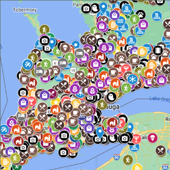
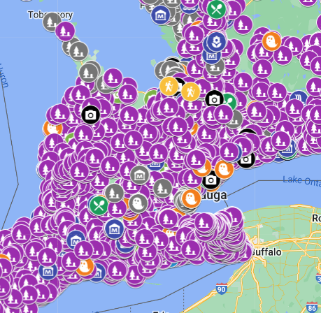
The Guess Where Trips Magic Map and the left, my master map of Ontario cemeteries on the right.
The Historic Haunts tour was the first ghostly trip created by Jess Off and her team and was initially most popular around the Halloween season. Today, all their haunted trips have become popular regardless of the season. Some of the other spooky trips they offer in Ontario are Weird and Wonderful Things, Spooky Sights & Ghostly Tales, Beautifully Haunted, and Hidden Gems of Huronia.
They offer an adventure for everyone! If haunted hidden gems are not your thing, you might enjoy one of their other themed trips. They have trips that feature wineries, and breweries, romantic getaways, scenic drives, and outdoorsy adventures.
My Guess Where Adventure
The Historic Haunts tour begins in Cambridge, Ontario which is about a 4-and-a-half-hour drive from me. So, my mother and I packed up the car and took advantage of the nice summer weather to make an overnight trip. We drove up to the tri-city on Thursday, with plans to follow the surprise road trip all day on Friday. Then we would drive home on the Saturday. This gave us some extra time to explore the area, so I found some other things for us to do as well.
Friday morning, after a nice breakfast, we opened our first envelope to see where our first stop would take us. It brought us to downtown Cambridge to explore the architecture and haunted history of some of its older buildings. With coffee in hand, we sat outside the beautiful stone building that was once a Post Office, and read the tragic tale of a torrid love affair that ended in suicide. Even though it was a bright sunny morning, it was still a bit spooky to be looking up at so much dark history.
Idea Exchange / Old Post Office, Cambridge ON ©2024
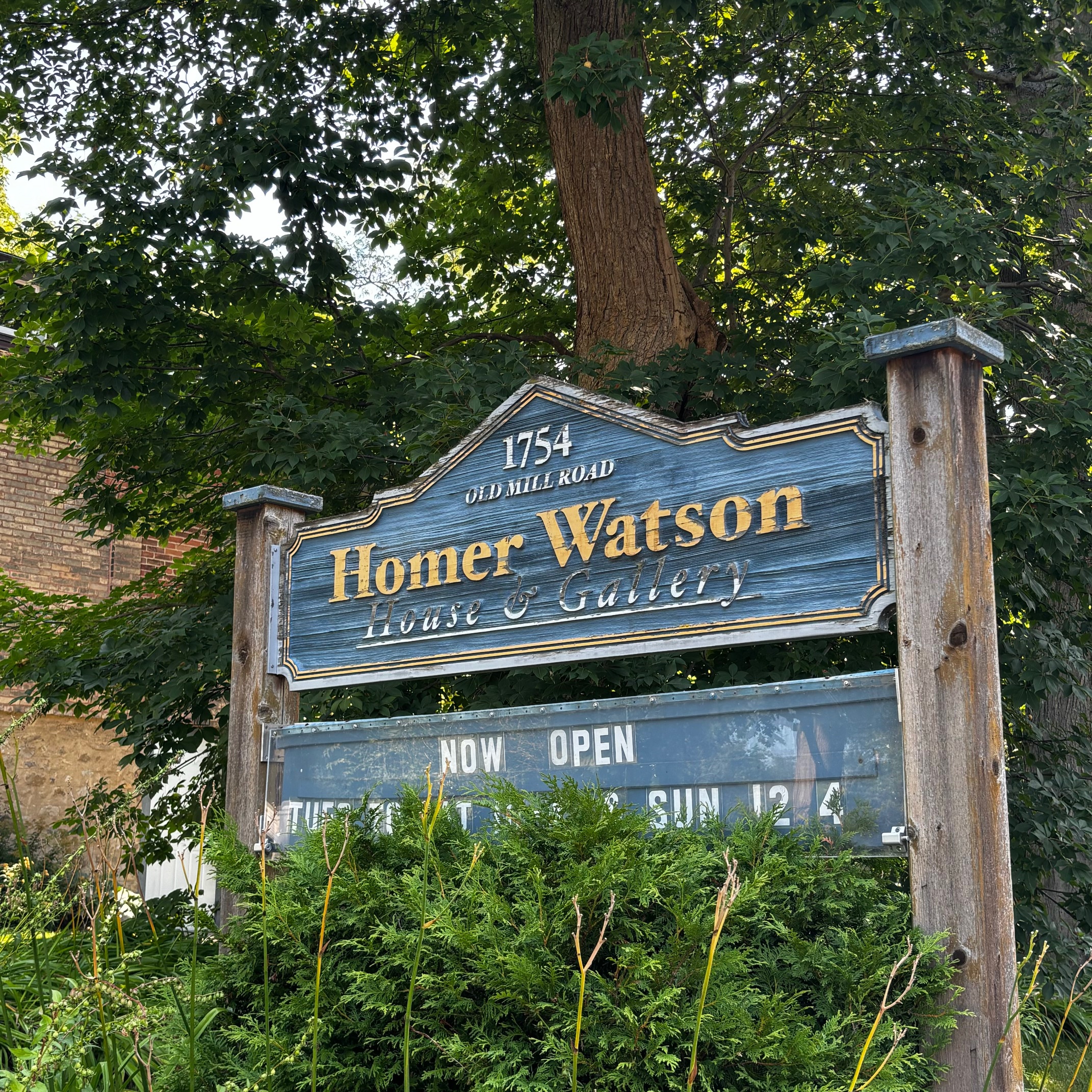
Our second stop brought us to a beautiful historic house and art gallery. We were a little early, arriving before they opened for the day, so we decided to explore the optional spooky abandoned spot that was just around the corner—The Doon Mills Ruins.
Things got a little interesting at this point. The Doon Mills, originally built in 1834 have seen many tragedies, having burned in a fire not once, but twice! Today, many people report ghostly occurrences at this small section of ruins that sit at the trailhead. People claim to have heard ghostly footsteps or even heard their name called. Almost as soon as we arrived at the ruins, my mother complained of a burning wood smell. I didn’t smell anything though. My mom got a little creeped out when I reminded her that smelling burning wood was something many people experienced when visiting the ruins.
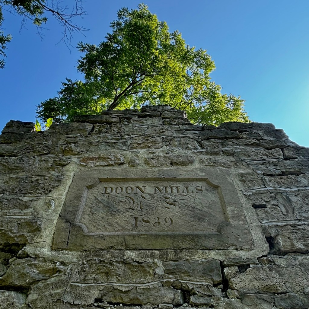
The Doon Mills Ruins, Kitchener ON ©2024
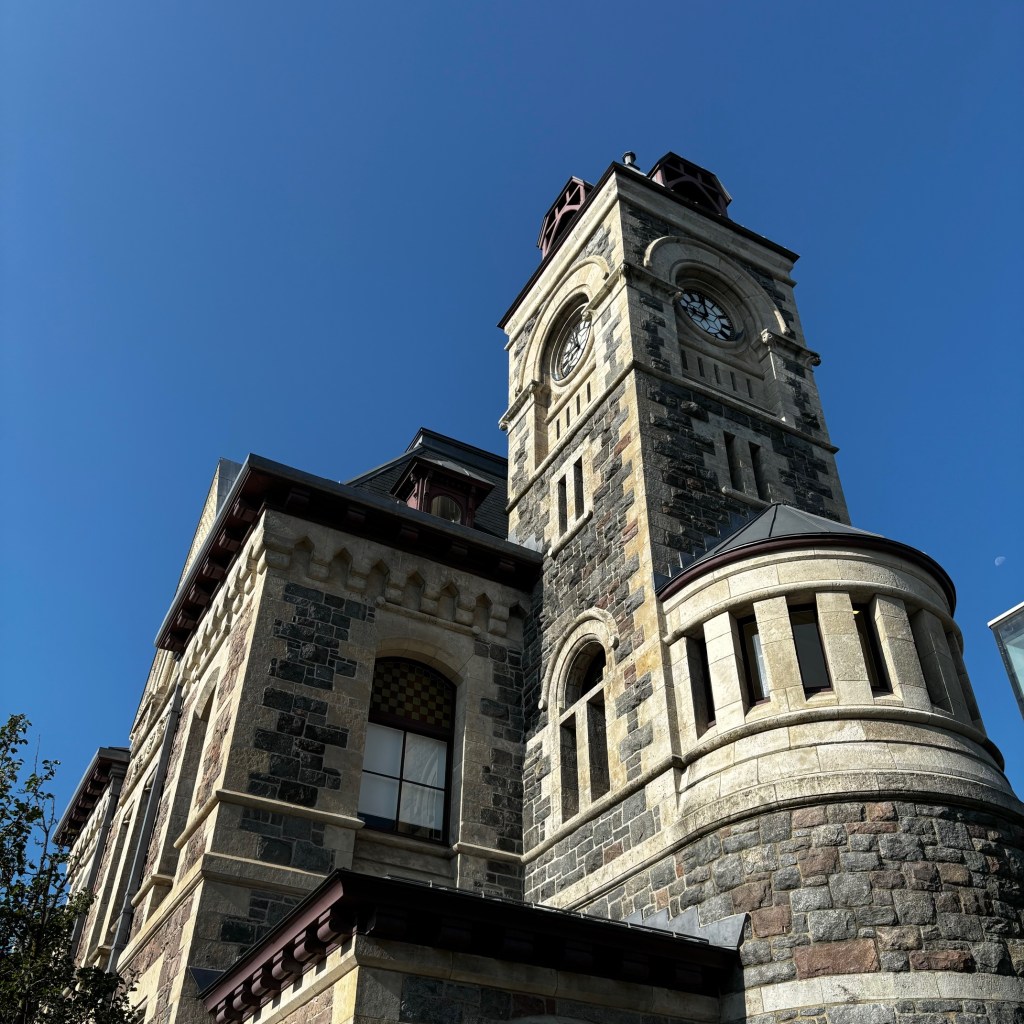
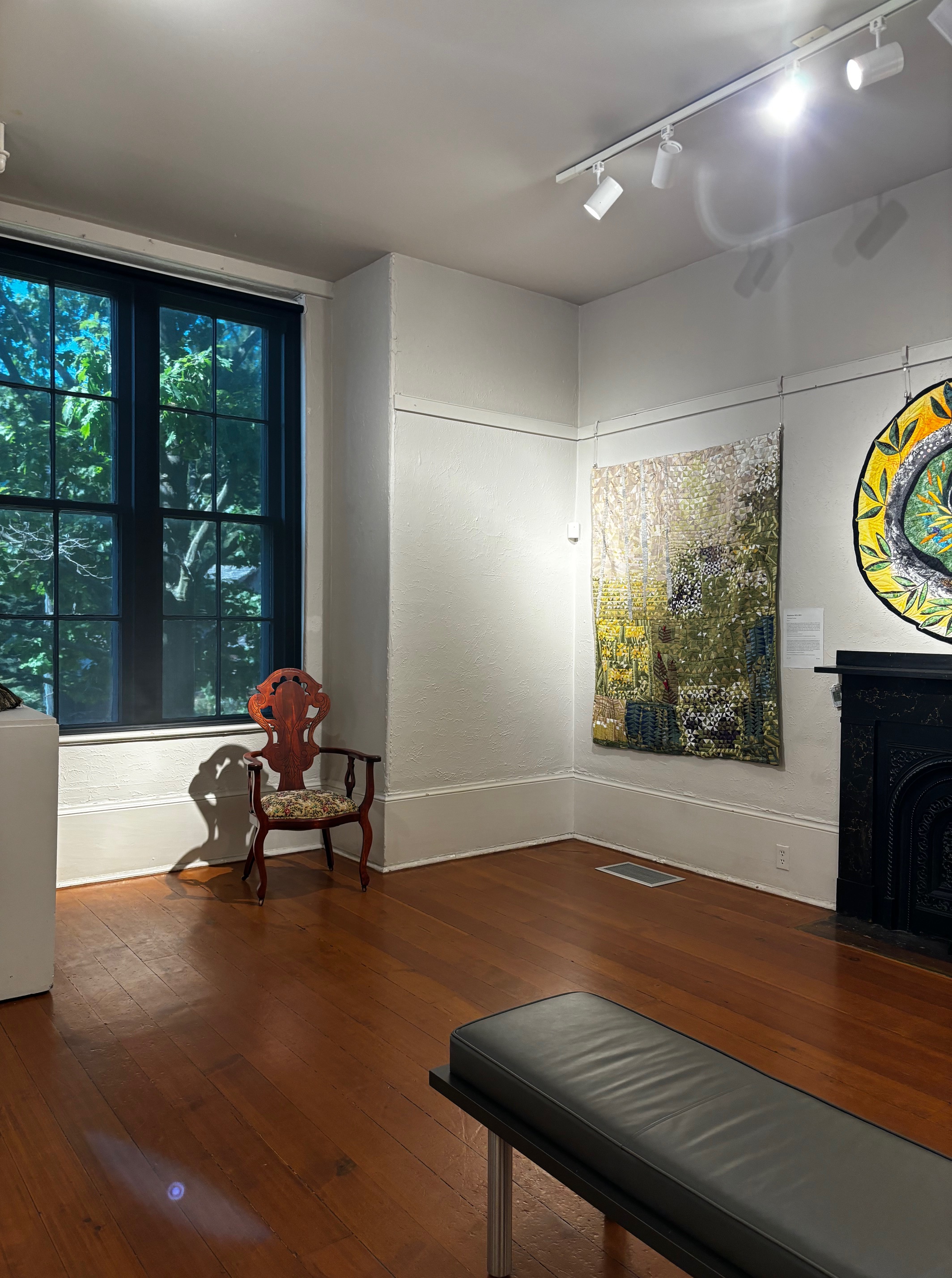
We made our way back to the Homer Watson House & Gallery once it had opened for the day, and was given a lovely tour by the staff. They made sure to tell us the haunted history of the place when we told them we were on the Haunted History tour. It is a beautiful house with a very interesting history. After exploring the house, I just had to ask where Homer Watson might be buried. It just so happens that he is laid to rest in the cemetery just down the road from the historic house, so my mother and I made an extra stop to visit his grave and pay our respects.


Homer Watson House & Gallery and grave of Homer Watson. Kitchener ON ©2024
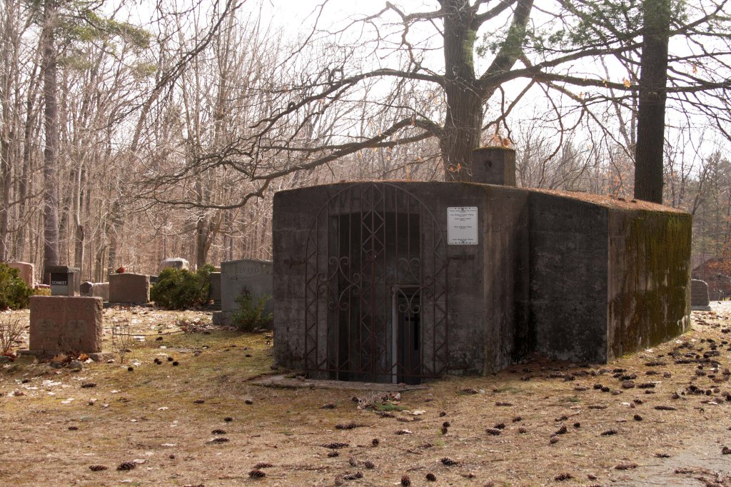
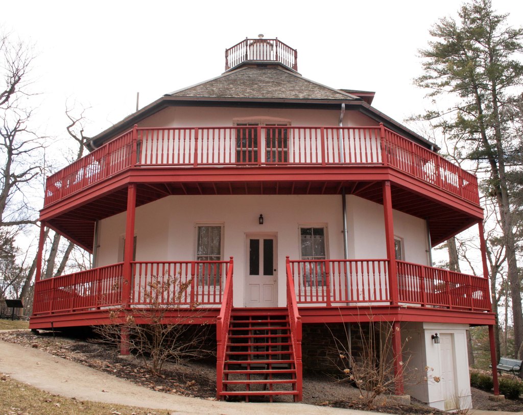
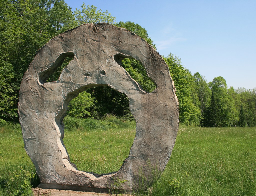
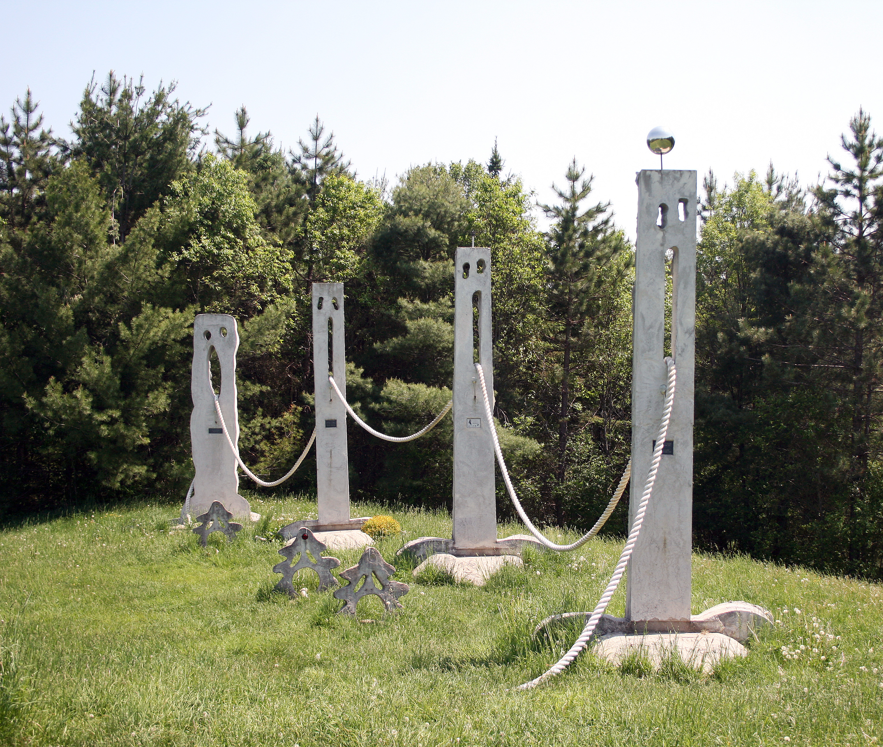
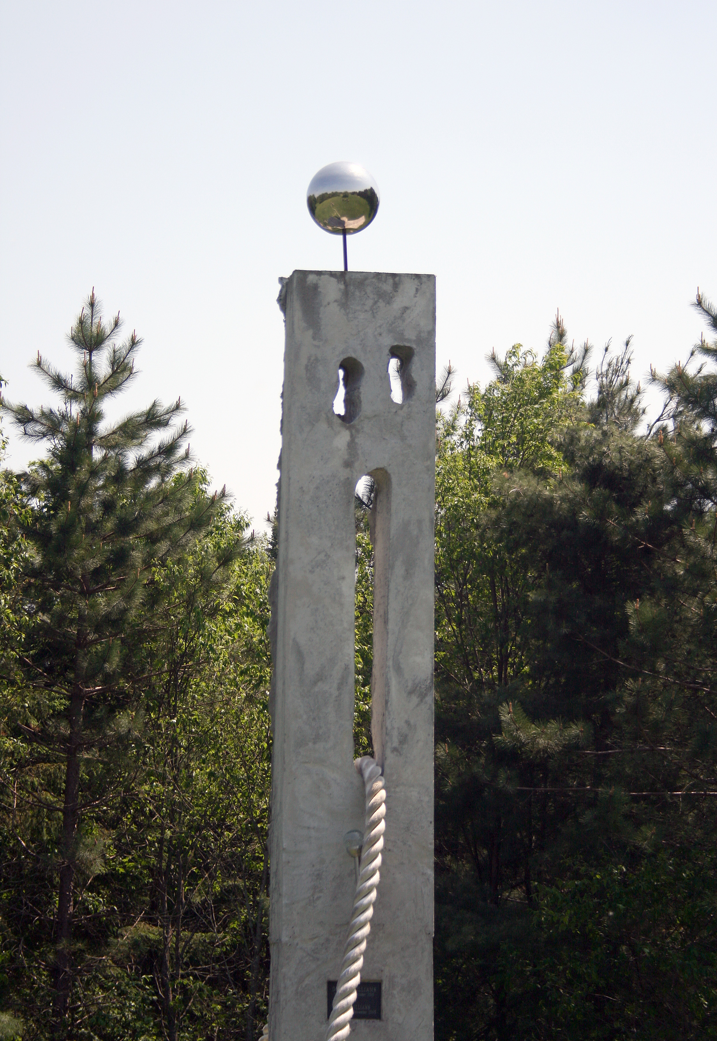
Remember how I mentioned I had found some other things for us to visit while we were in Cambridge for the tour? Well, that ended up mucking up our surprise road trip a little bit. The third stop on our road trip directed us to a haunted tower and an ancient cemetery. Well, it just so happens that my mother and I had visited this location the day before. It was a perfect evening activity as it checked a lot of boxes for us; a historic site, a cemetery, and a walking trail. At the time of our visit though, we had no idea the tower was haunted.
By this time it was also the lunch hour, so instead of visiting that location again, we decided to try one of the recommended restaurant stops. We visited the Borealis Grille & Bar to have some lunch and read through some of the haunted history of the tower we visited the evening before. After that nice rest, we opened our next envelope.
Our fourth envelope presented a choose-your-own-adventure opportunity. So it worked out that we had already visited the previous stop. This gave us more time to visit multiple locations on this leg of our road trip adventure.
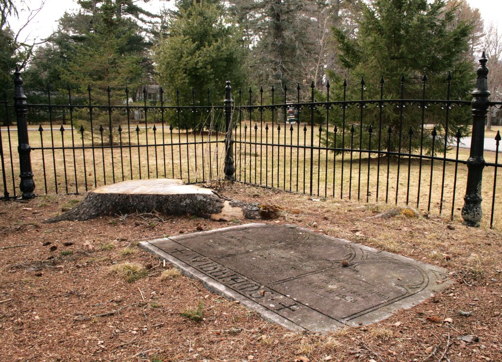
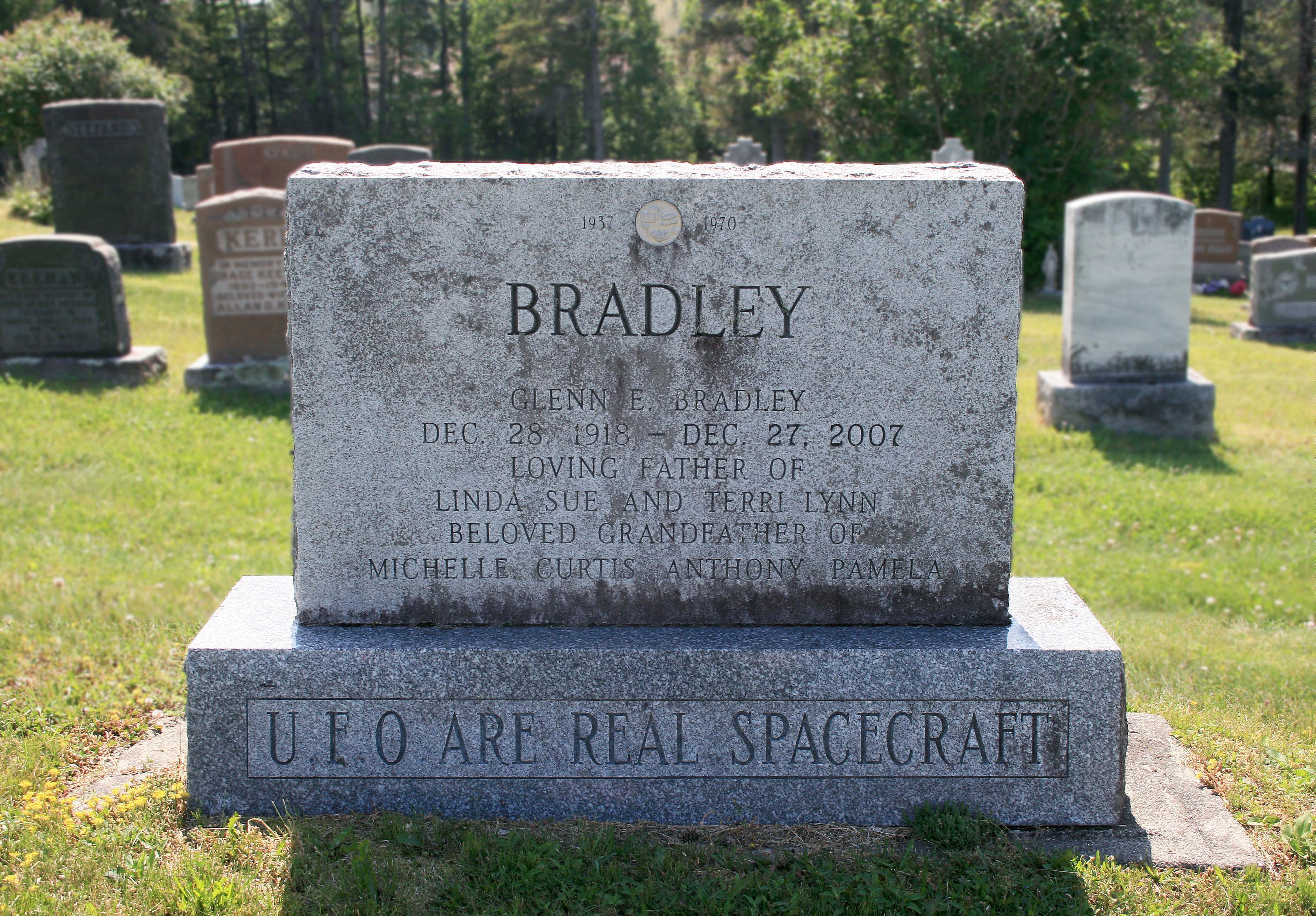
We chose to visit Rushes Cemetery in Wellesley first. I was pretty excited to see this listed as the first optional stop. There is a very interesting gravestone in this cemetery, and it has been on my cemetery bucket list for a while. This cemetery is the final resting place of Henrietta and Susanna, the first and second wives of Dr. Samuel Bean. What makes this stone so unique is the fact that this tombstone is written in a crossword code, and it took over 100 years to decode it.
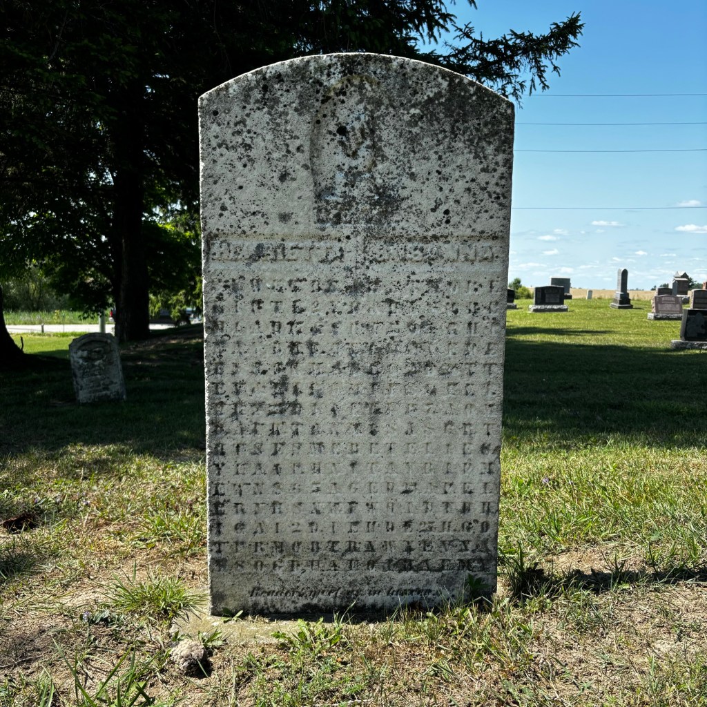
The Bean Puzzle tombstone, Rushes Cemetery, Wellesley ON ©2024
After I took some time to photograph the cemetery we made our way to Fergus to visit the Wellington Museum & Archives. By the time we got there, we would have just enough time for a quick tour before they closed for the day.
Once known as the Wellington County House of Industry and Refuge, built in 1877, this beautiful building now houses a permanent display of the Institution’s history, as well as a few changing exhibits. The permanent exhibit “If These Walls Could Speak” explores the lives of the people who lived, worked, and died within the walls of the Poor House. It’s not surprising this National Historic site is also home to a few ghosts.
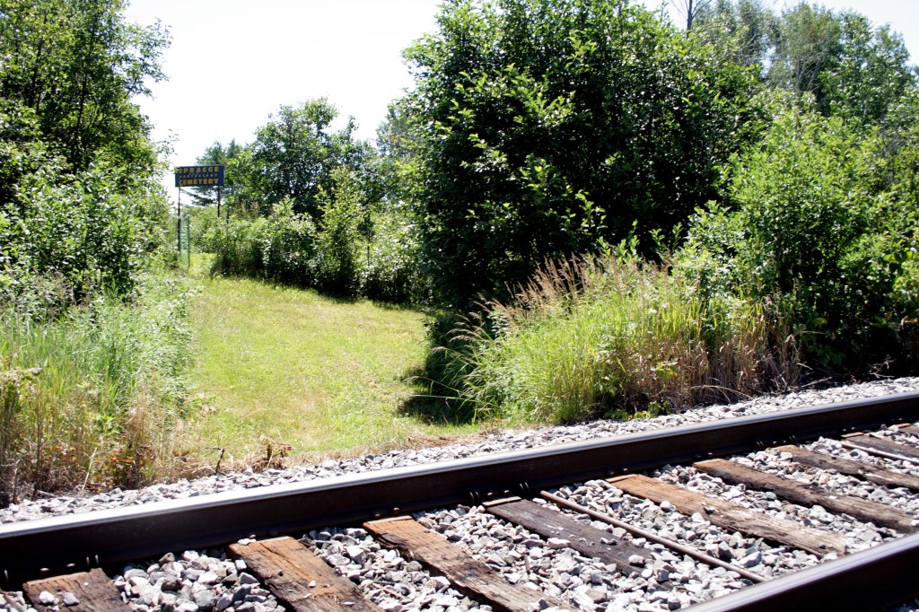
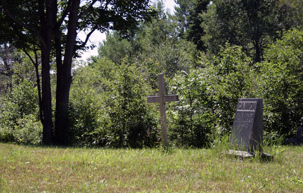
After we toured the building, taking in all the interesting exhibits and history we made our way down the road to visit the Poorhouse Cemetery. This cemetery sits at the edge of the property and was established for those who had no family to claim them. After we paid our respects at the cemetery, we headed back to Cambridge to have some supper and rest at the hotel.


Wellington Museum & Archives, and the Poorhouse Cemetery, Fergus ON ©2024
Our Historic Haunts tour was a great success. My mother and I had a lot of fun exploring and learning about the community and local history. It was a great mix of haunted history, museums, and cemeteries. Although we did add a couple of cemetery stops to our trip, it made sense to stop in and pay our respects after learning so much about their history.
I also loved the surprise element and the choose-your-own-adventure style. Opening each envelope was a fun addition that created a sense of anticipation. The multiple options also gave you the freedom to choose how your route was going to unfold. The restaurant and cafe options were also great additions, taking into account that you may get hungry or need a coffee break during all the exploring. It is so well thought out!
I asked my mom what she thought of the trip and she loved that all the planning is done for you and that it was really easy to follow. She also loved all the history that is provided for each stop, her favorite being the tragic tale of love and loss at the Old Post Office. She loved the beautiful architecture but noted that we would have never known about its tragic history, just by looking at the building. She said it was a great adventure!
We had a great time, and we both would recommend these trips to anyone looking for a unique adventure. So if you are looking for road trip ideas, definitely check out Guess Where Trips and let them lead you to some fun and fascinating destinations!
Thanks for reading!
References:
- About Us | Guess Where Trips